
















Sentinel-2Explorer +
An intuitive, AI-assisted way to explore the Earth through Sentinel-2 imagery.
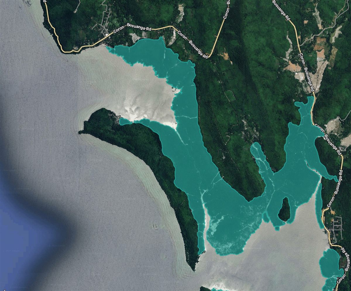
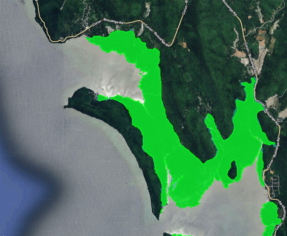
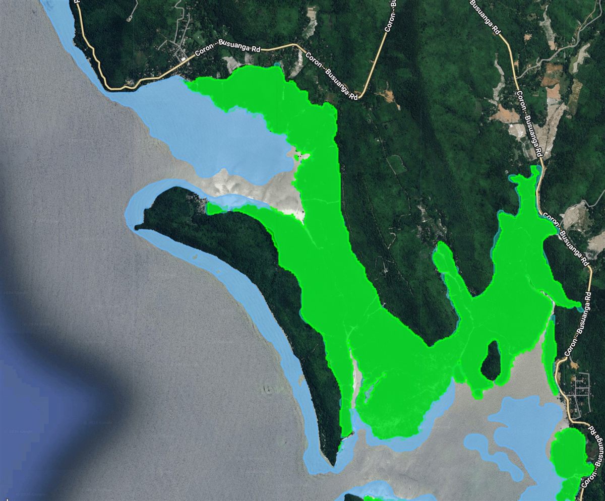
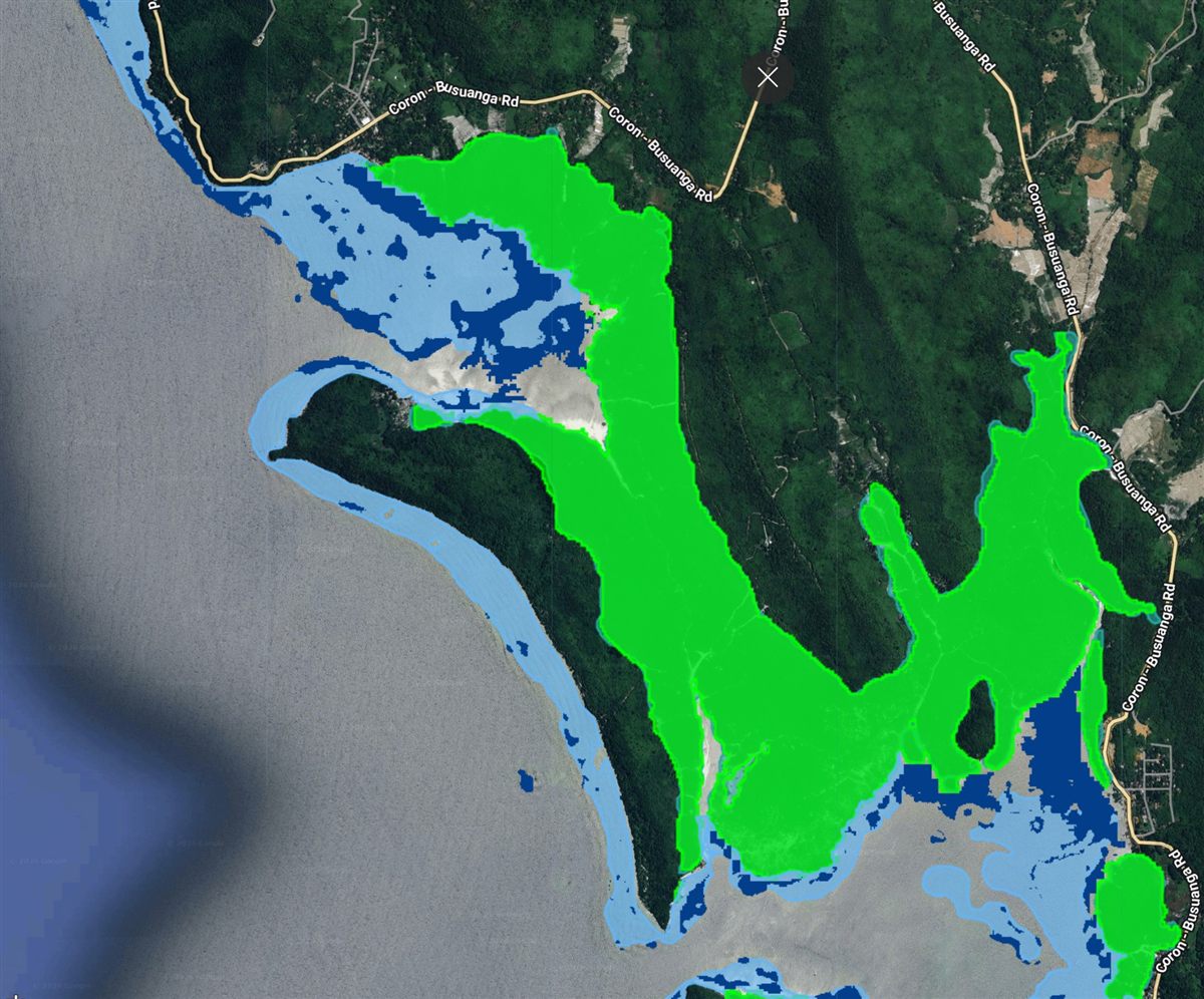
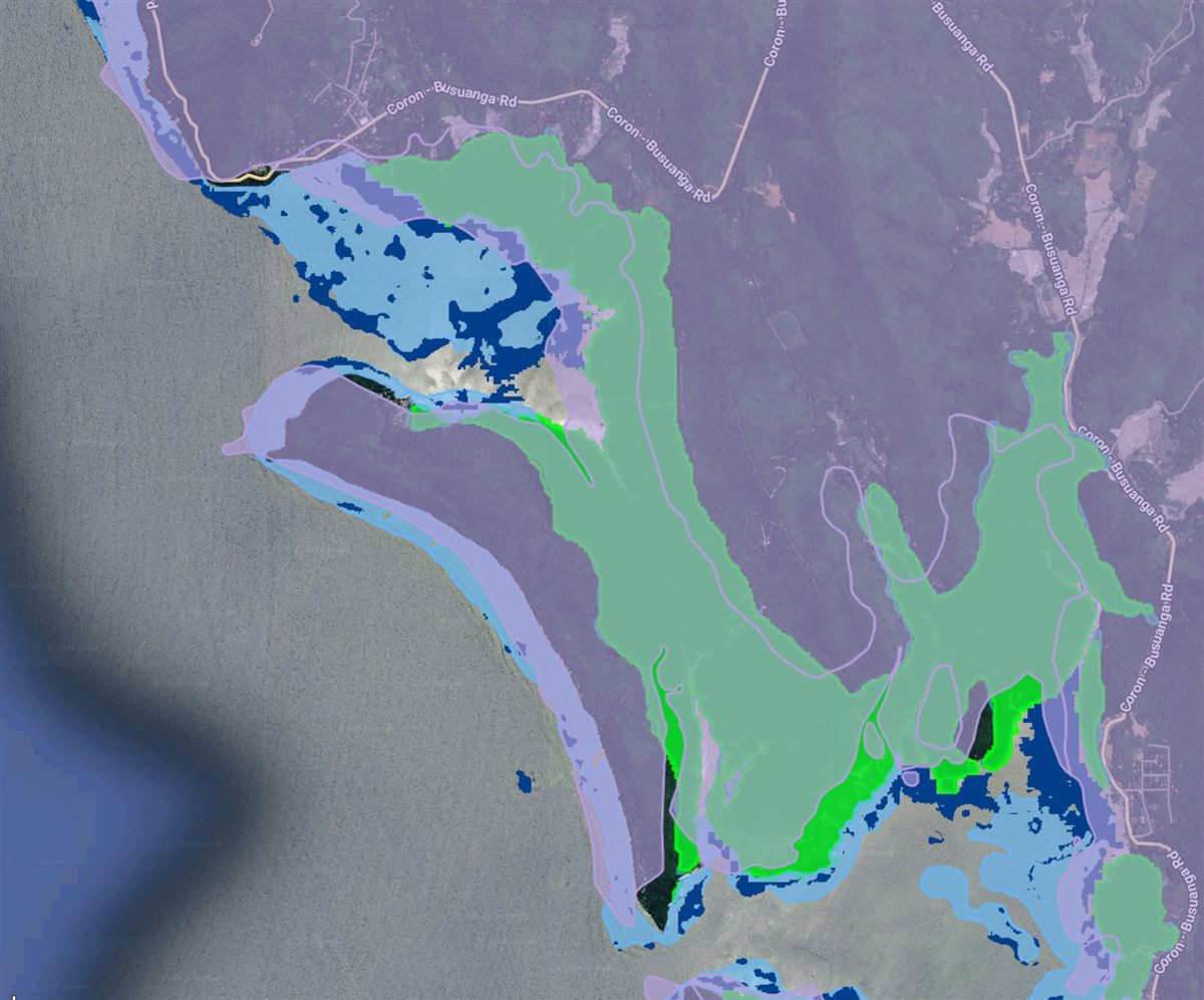
Sentinel-2 Explorer+ simplifies satellite image discovery, visualization, comparison, and analysis in one interactive platform. With SentiMate AI, users can identify suitable imagery, interpret vegetation and water indices, assess land-cover patterns, compare changes over time, and generate insights and reports more efficiently.
Explore the App Live product walkthrough